Fjellsti Lite
A maps and route navigation app built for the situation its users are actually in: outdoors, on battery, with unreliable signal.
- Year
- 2024
- Services
- Mobile appsUI/UX design
The constraint that shaped everything
A navigation app for the outdoors is used precisely where connectivity fails and battery matters most. That single fact drove every decision: offline-first map storage, restraint with GPS polling, and an interface legible in bright sun.
What we built
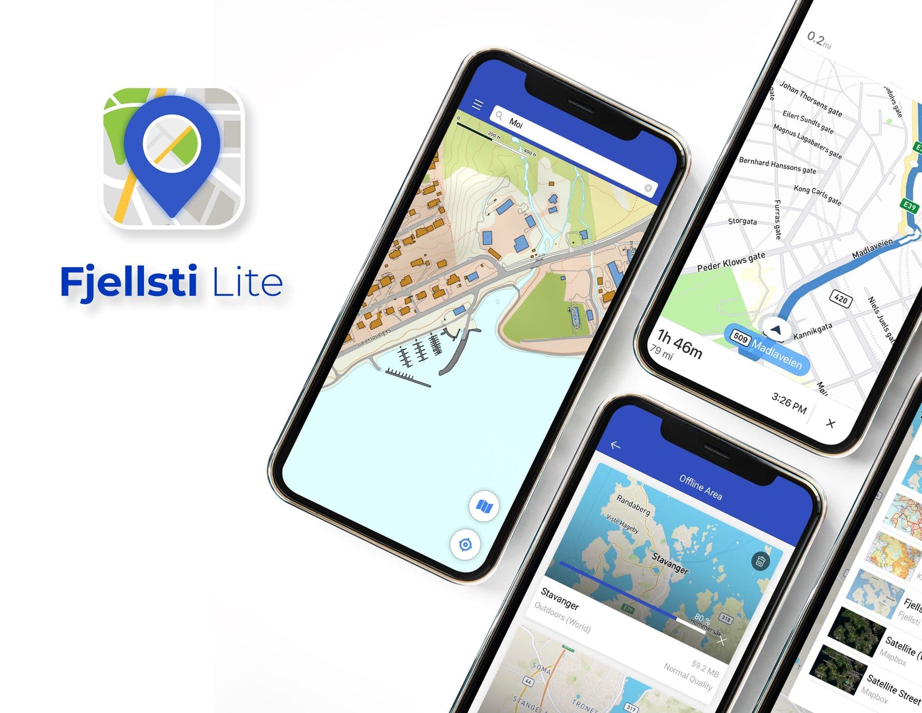
- Map regions downloaded ahead of time and fully usable offline
- Route plotting with distance and time estimates
- Adaptive location sampling - frequent while moving, sparse while still
- Route recording that survives the app being killed mid-journey
- High-contrast mode for direct sunlight
Battery is a feature
Continuous GPS is the fastest way to flatten a phone. We sample adaptively - dropping the rate sharply when the device is stationary, raising it when movement resumes - and batch other work into the wake cycles that location updates already cause.
This matters more than anything else on the list. An app that drains a phone before the walk ends is worse than no app, because the user also loses their camera and their ability to call for help.
Designed for cold hands
Touch targets sit well above the platform minimum throughout, and contrast is pushed past the accessibility floor because the competing light source is the sun. Both decisions look heavy-handed on a desk and correct on a hillside.